
Historic Shipping Networks
Layer 03 · Publication and database work
Routes that reshaped the world.
When European maritime expansion in the Indian Ocean accelerated during the seventeenth century, it reshaped global economic, political and social relations. Ships were not only vehicles of trade and mobility; they were instruments of colonial power.
They enabled the movement of goods, people, soldiers, knowledge and violence, and became central to expanding European dominance across Asian waters. Historic Shipping Networks makes these connections visible through research, publications and searchable data.
A shipping record can reveal a route, a cargo and the unequal systems that connected them.
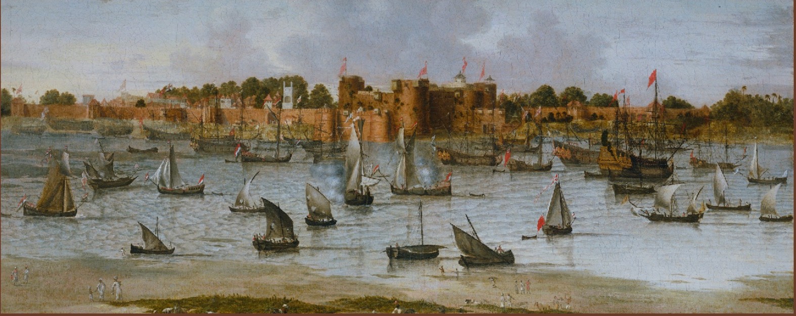
View of the Harbor of Surat, anonymous, c. 1670 · Rijksmuseum Amsterdam
Dutch Ships in Asian Waters
More than 56,000 records.
Based on thirty years of research, the searchable database documents VOC ship movements between 1595 and 1687.
Its records cover voyages, dates, ship types, ports, cargo and maritime trade activities—providing a resource for studying maritime history, colonial infrastructure and the oceanic networks that supported European imperial power.
Research dimensions
Read across the records
The database supports connected questions rather than isolated ship histories.
Movement
Voyages and ports reveal the geographic structure of maritime expansion.
Exchange
Goods, people and knowledge moved through networks shaped by unequal power.
Interpretation
Data becomes a starting point for critical heritage and public history.
Current work
Database, publication and translation.
New entries continue to extend the shipping database. A Chinese translation of Robert Parthesius’s publication Dutch Ships in Tropical Waters is also in preparation with Palgrave Publishers.
The work connects maritime history and digital infrastructure to contemporary questions of colonial heritage, contested ownership and international interpretation.