
Documenting Gaza’s Archaeology
Layer 03 · Rapid documentation
A fragile record of coastal history.
Gaza’s coastline holds a remarkable and fragile record of human history. Underwater and nearshore archaeological sites tell stories of centuries of trade, migration and cultural exchange.
As Gaza enters reconstruction, debris management may itself become a threat to heritage. Large quantities of war rubble may be moved into the sea, risking the burial of coastal and underwater archaeological sites. Earlier dumping connected to the conflicts of 2007, 2014 and 2021 has already damaged or covered heritage.
Without rapid documentation, known sites may disappear beneath reconstruction debris before they can be safely recorded.
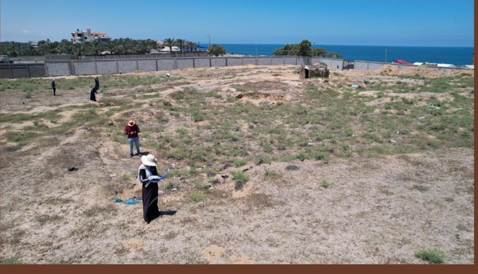
Tell Ruqeish documentation · CIE HeritageLab
Known sites
Prepare now, document when conditions allow.
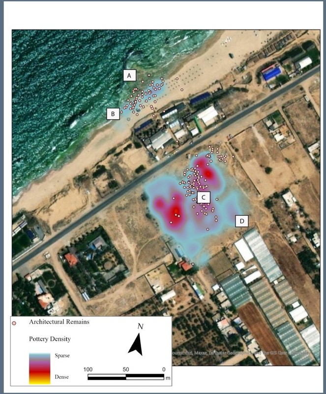
The locations of many coastal sites are known, but only three—Tell Ruqeish, Tell Qatif and Tell Ridan—have been comprehensively surveyed.
The team is preparing documentation methods, data structures and specialist support so that work can begin safely and rapidly when access and conditions permit.
Documentation approach
Skills ready to mobilise
The work combines local archaeological knowledge with accessible documentation methods.
Coastal fieldwork
Coastal, maritime and aerial survey techniques adapted to local conditions.
Open tools
GIS, databases and visual media for rapid, shareable documentation.
3D documentation
Snorkelling, mapping and photogrammetry for accessible underwater recording.
Local capacity and continuity
Built with archaeologists in Gaza.
Georgia Andreou has worked with archaeologists in Gaza for several years. Between 2022 and 2023, twenty Palestinian archaeology students from the Islamic University of Gaza were trained in rapid coastal heritage documentation using open-source tools and coastal, maritime and aerial survey techniques.
Specialists in GIS, databases, visual media and underwater documentation support the team’s preparation and future fieldwork.